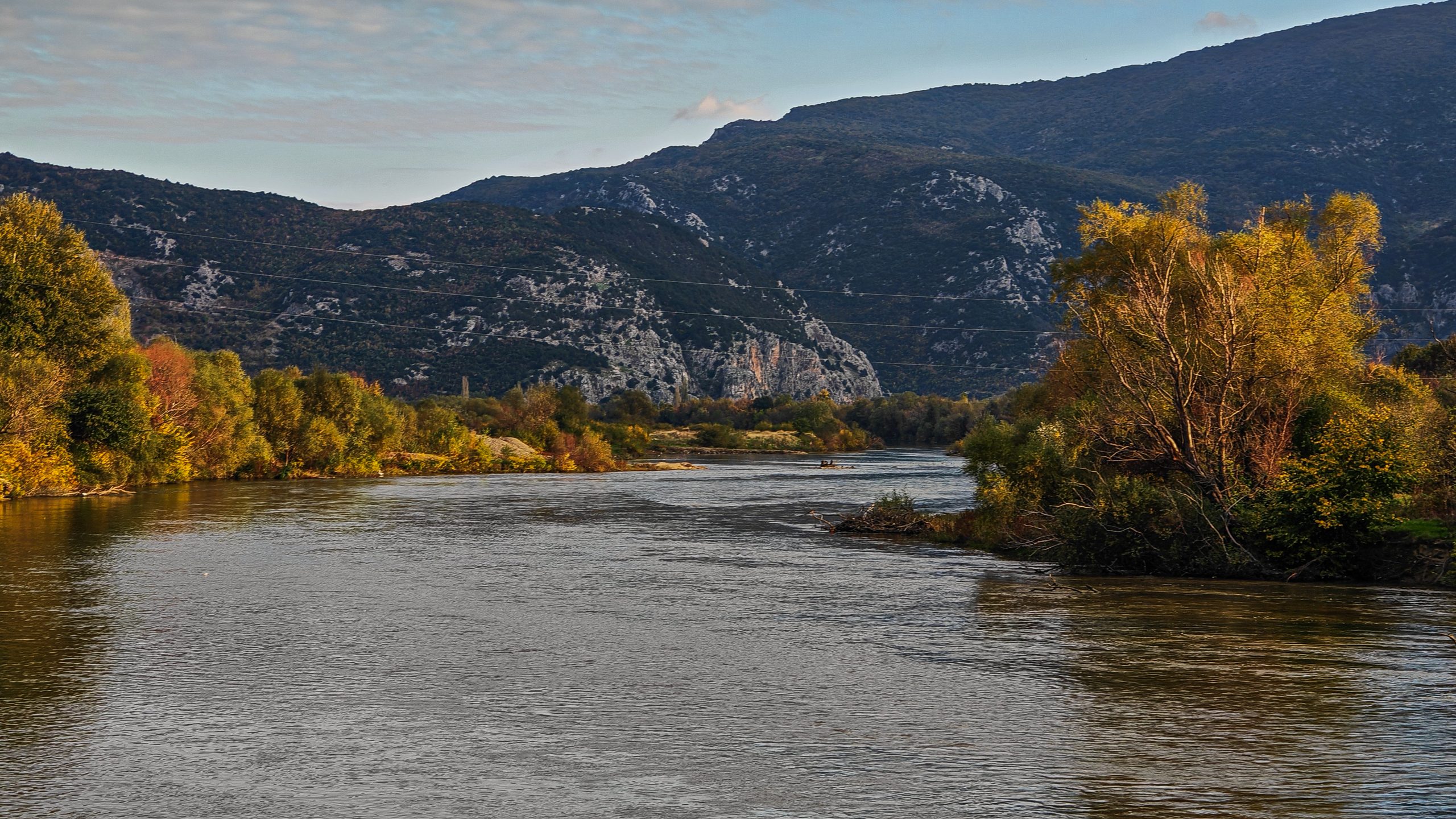
The Groundwater Management, Use and Protection Programme seeks to engage a professional and highly experienced company to conduct a geodetic survey of river cross-section profiles and produce high-resolution orthophoto for each location of the sites subject to survey using UAV photogrammetry.
The scope of work includes analyzing the list of identified locations across key rivers and their cross-sections, carrying out geodetic surveys of transverse river profiles, and producing high-resolution orthophotos for each site. All activities will be conducted in close cooperation with the HMS – Hydrology department.
The Request for Offer, including all details and application instructions, is available here.
The application deadline is 22 May 2026.
For more information, please contact northmacedonia@skat.ch